
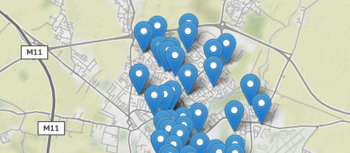
A map of some Cambridge services
Data is all very well, but can we help put it to new and imaginative uses?
Starting with some excellent information collated by Cambridge City Foodbank, we collated a spreadsheet setting out information on some 68 services in and around Cambridge which might be useful for Foodbank customers and others, to be able to access in map format.
This was put together in February in 2017 and was converted to a map format in June 2017, and was one of the first mapped datasets on Cambridgeshire Insight Open Data at the time.
You can 'click' on the markers on the map to discover more information about various services and teams across Cambridge.
If this proves useful, we could produce similar maps in other parts of the Cambridgeshire and Peterborough.
Below is a preview of the data in table format but you can download the full dataset via Cambridgeshire Insight Open Data here.
We hope the map and the source data, provided with a URI, might feed into other products and applications to help people find the services they need in the local area. Please do get in touch if you would like to help extend this project further.