Data Story: Know your local area - Census Area Profiles

Census Area Profiles
The 2011 Census
The population Census is conducted every ten years across the United Kingdom – the last Census was in 2011. The survey results help to paint a picture of the nation and how we live, by providing a detailed snapshot of the population and its characteristics. Census data provides information that government needs to develop policies, plan and run public services, and allocate funding.
What are the Area Profiles?
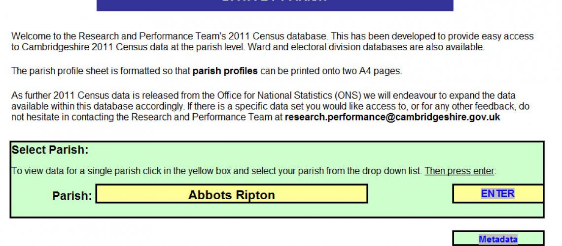
The Area Profiles have been developed by the Research and Performance Team to provide easy access to 2011 Census data for relatively small geographical areas across Cambridgeshire. This includes wards, parishes, market towns and electoral divisions. How are they different to the data sets that ONS release? The Area Profiles make the data more user friendly as they essentially ‘localise’ the data, putting all of the Cambridgeshire data in one place online. They replace reams of excel spreadsheets with output area level data for every local authority with just the Cambridgeshire data.
How are the area profiles useful?
Census data is used up and down the country to develop policies and allocate funding, in both the public and private sector. Local authority departments commonly view their services by parish, electoral division or ward, and so need to know the population characteristics within these areas. The Area Profiles provide this data and are open to all users.
So, if you want to know the population of Pidley-cum-Fenton, the health Status of Hardwick, or the most popular religion in Ramsey, then explore our area profiles….http://www.cambridgeshireinsight.org.uk/census-2011/census-data-and-prof...
For further information, contact:
Nicola Gowers – Research Officer
Cambridgeshire Research Group,
SH1012,
Shire Hall,
Cambridge,
CB3 0AP.
Tel.:01223 706115
